Get help via email at [email protected]
For site status announcements, check @cad_mapper on Twitter
Don't hesitate to contact support about:
- Technical issues with the site
- Special requests for files
- Bulk discounts for frequent users
- If your student email address is not giving you the discount
- Any questions, comments, or suggestions
- Pictures of cool things you create with Cadmapper
Cadmapper user Rascoh Studio has created a series of tutorial articles and videos explaining how to get started with popular programs such as AutoCAD and Revit.
Create a 3D Site Plan using CADMapper and AutoCAD
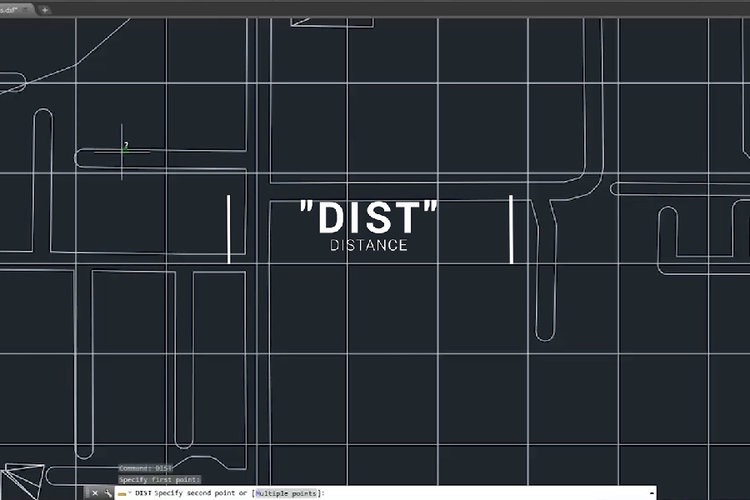
1. The model is located at the origin (0,0,0). In some programs, you may need to zoom out from the origin to view the entire model: a shortcut to do this in AutoCAD is by clicking [Top][Top] at the top left of the viewport to recenter the view.
2. For large files greater than 100 MB, it may take some time for the model to be displayed.
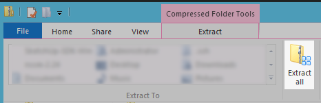
In most cases, you will need to Extract the CAD file from the .ZIP download. This is done via the button highlighted below in Windows Explorer.
The DXF format should work with Archicad version 25. From the File Menu, choose Place External Drawing... and choose the unzipped DXF file. When prompted for the model units, select Meters.
In general, any program that opens AutoCAD .DWG files can also open .DXF files.
Confirmed to work on Mac and Windows on versions greater than 2012.
If you are seeing this alert in AutoCAD:
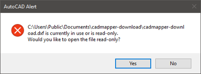
Make sure you have unzipped it, and do not open the DXF by double clicking in Explorer. Instead, first start AutoCAD, and then use "Open" in the top left menu. Read more about this issue here and here.
See import instructions here.